Good afternoon,I’mCaroline Schelle,and I’m taking over the flood blog fromLachlan Abbott.
Residents still in flood zones have been urged to evacuate while they can with a reprieve for towns along the Murray River.
The worst of expected flooding is now forecast to hit on Sunday and could rise to match 1993 flood levels.
Towns further north along the Murray such as Swan Hill and Mildura have been warned floodwaters will reach them over coming weeks.
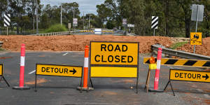
The Patchell bridge ( Loddon River ) on the Murray Valley Highway in Kerang is closed due to the floods.Eddie Jim
Isolated thunderstorms could deliver up to 30 millimetres of rain for already drenched parts of northern Victoria on Friday.
Jenny Panos,who co-owns a caravan park along the river at Barmah,said 13 of 60 units there had already been inundated.
“We are feeling pretty tired right now,and still quite nervous as there are a lot of mixed messages about how high the peak will be and what day it will arrive,” Ms Panos said.
“The waiting is frustrating,it is creating many sleepless nights and tiring days.
“The anxiety levels are running high. We are feeling very much over it and just want it to hurry up and come so that we can assess the damages and start the cleanup.“
AAP